
Vallegrande Trail from Riva to Moneglia
Trekking - Level: Intermediate
From Sestri Levante to the discovery of the Cinque Terre
Mountain bike - Level: Advanced
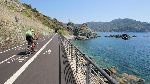
From Sestri Levante on the Slate Cycleway
Mountain bike - Level: Easy
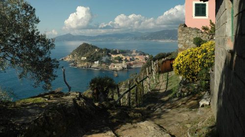
From Sestri Levante to Riva Trigoso via Punta Manara
Trekking - Level: Intermediate

Sestri Levante to Levanto
Mountain bike - Level: Intermediate

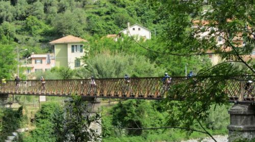
Sestri Levante to Portofino
Mountain bike - Livello: Intermedio